Study Area Data Layers
DNR Sampling Sites 

Hinkson Stream Points

Hinkson Creek Centerline

Stream Bankfull

Valley Bottom Constricted

Valley Bottom Morphologic

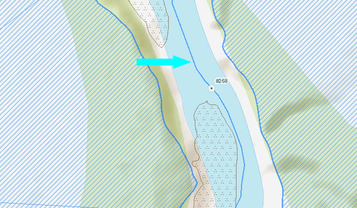
Sand Gravel Bars

Watershed Boundary

Land Use
Watershed Summary
Catchments Summary
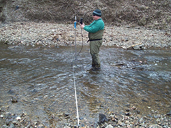
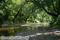
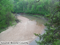
In 1998 the Missouri Department of Natural Resources (MDNR) placed approximately 14 miles of Hinkson Creek (Boone County) on its list of impaired waters designated under Section 303(d) of the Clean Water Act. In the Total Maximum Daily Load (TMDL) document prepared for this watershed, the pollutant(s) causing the impairment were listed as unknown, and the sources of this pollution are listed as “urban runoff” and “urban nonpoint source” (USEPA 2011). As an alternative to the strict adherence to the requirements outlined in the TMDL, a collaborative adaptive management plan was developed among the stakeholders that included the city of Columbia, Boone County, the University of Missouri-Columbia, Region VII of the United States Environmental Protection Agency (USEPA), and MDNR, among other entities. As a partner in the collaborative adaptive management process, MDNR agreed to conduct a three-year biological study of Hinkson Creek beginning in 2012.
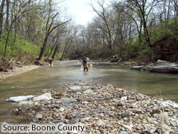
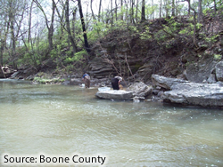
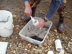
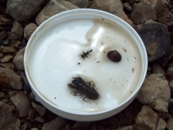
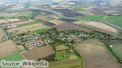
Agricultural and urban land uses predominate in the Hinkson Creek watershed, and have likely resulted in increased sedimentation in the system, removal of riparian buffer vegetation, and alteration of the natural hydrology of the stream (Lenat and Crawford 1994; Paul and Meyer 2001). Several studies of the physical, chemical, and biological conditions of the creek have presented evidence of stream degradation in various segments of the stream (Parris 2000; MDNR 2002, 2004, 2005, 2006; Nichols 2012). In 34 macroinvertebrate samples collected from Hinkson Creek between fall 2001 and spring 2006, 14 were classified as only partially supporting of aquatic life. The majority of these (12 of 14, or 86%) were collected in the portion of the stream downstream of the I-70 crossing to the Columbia city limit just downstream of the Scott Boulevard crossing. These samples represent the subset of the Hinkson Creek macroinvertebrate community considered to be within an urban setting; upstream of the I-70 crossing the creek is within a rural - primarily agricultural - setting.
Hinkson Creek Station #1 (SE ¼ sec. 29, T. 48 N., R. 13 W.) is located downstream of the Scott Boulevard bridge. Geographic coordinates at the upstream terminus of the station are UTME 551970, UTMN 4307414.
Hinkson Creek Station #2 (NW ¼ sec. 27, T. 48 N., R. 13 W.) is located upstream of the MKT Trail bridge in the vicinity of Twin Lakes Recreational Area. Geographic coordinates at the upstream terminus of this station are UTME 553966, UTMN 4308301.
Hinkson Creek Station #3 (NE ¼ sec. 27, T. 48 N., R. 13 W.) is located downstream of the Forum Boulevard bridge. Geographic coordinates of the upstream terminus of the station are UTME 555061, UTMN 4308249.
Hinkson Creek Station #3.5 (SW ¼ sec. 24, T. 48 N., R. 13 W.) is located upstream of the Recreation Drive culvert crossing (just east of Providence Road). Geographic coordinates of the downstream terminus of the station are UTME 557571, UTMN 4309043.
Hinkson Creek Station #4 (NW ¼ sec. 19, T. 48 N., R. 12 W.) is downstream of the Rock Quarry Road bridge. Geographic coordinates of the downstream terminus of the station are UTME 558533, UTMN 4309388.
Hinkson Creek Station #5 (NW ¼ sec. 8, T. 48 N., R. 12 W.) is located upstream of the most upstream footbridge of Capen Park. Geographic coordinates of the upstream terminus of the station were UTME 559135, UTMN 4309518. Hinkson Creek Station #5.5 (NE ¼ sec. 18, T. 48 N., R. 12 W.) was located downstream of the Green Valley Drive bridge (just south of Broadway Street). Geographic coordinates of the upstream terminus of the station are UTME 560081, UTMN 4311180.
Hinkson Creek Station #6 (SW ¼ sec. 8, T. 48 N., R. 12 W.) is located upstream from the East Walnut Street bridge. Geographic coordinates of the downstream terminus of the station are UTME 560767, UTMN 4312309.
Hinkson Creek Station #6.5 (SE ¼ sec. 5, T. 48 N., R. 12 W.) is located upstream of the Highway 63 connector (upstream of the trailer park east of the connector and behind Home Depot). Geographic coordinates in the downstream portion of the station are UTME 561861, UTMN 4313714.
Hinkson Creek Station #7 (NW ¼ sec. 27, T. 49 N., R. 12 W.) is located upstream of the Hinkson Creek Road/Wyatt Lane bridge. Geographic coordinates at the upstream terminus of the station are UTME 564140, UTMN 4317670.
Hinkson Creek Station #8 (SE ¼ sec. 15, T. 49 N., R. 12 W.) is located downstream of the Rogers Road bridge. Geographic coordinates at the downstream terminus of the station are UTME 565212, UTMN 4319627.
Unique identifier - Numeric site identification that begins with 0 at confluence and increases upstream towards headwaters.
Latitude - The angular distance of a place north or south of the earth's equator (units: decimal degrees).
Longitude - The angular distance of a place east or west of the meridian at Greenwich, England (units: decimal degrees).
Sinuosity - A stream's tendency to move back and forth across a floodplain in an “s” shaped pattern over time. Term calculation is stream distance/Euclidean Distance. A value of 1 = straight and >= 1.5 is considered meandered, from point to point starting at confluence moving towards headwaters.
Elevation - Specific location's height above sea level (units: feet).
Bankfull Width - Based on perpendicular transect of point, the distance along transect from one side of bankfull polygon to the other (units: feet).
Morphological Valley Width - Based on perpendicular transect of point, the distance along transect from one side of morphological valley to the other (units: feet).
Constricted Valley Width - The distance along transect from one side of constricted valley to the other based on perpendicular transect of each point (units: feet).
Elevation Change - The difference in elevation from one point to the next moving from the confluence towards the headwaters (units: feet).
An update of Hinkson Creek "Hydro_lines" (Boone County) stream centerline based on 2009 1 foot LiDAR DEM and 6" 2011 Leaf-off 3 band aerial photography.
The Hinkson Creek stream centerline (Hydro_Lines) provided by Boone County was based on 2007 ortho imagery and upon visual inspection, discrepancies between the centerline and stream channel in the 2009 LiDAR hillshade (provided by Boone County) and the 2011 6 inch Leaf-off aerial photography (provided by Boone County) were noticed. As a result, MoRAP manually edited the Hinkson Creek stream centerline to reflect its location based on 2009 LiDAR hillshade and the 2011 imagery. Upon editing, it was discovered that there were locations where the LiDAR and imagery did not match due to bank and stream channel changes between 2009 and 2011. In these situations the stream centerline was modified to more closely reflect its location in the LiDAR, which was used to develop several other datasets. Data was developed at 1:1000 scale.
A bankfull or top of bank dataset identifies where the slope break between the stream channel and floodplain exists. This data was created from the 2009 1 foot LiDAR DEM and slope derived from the DEM.
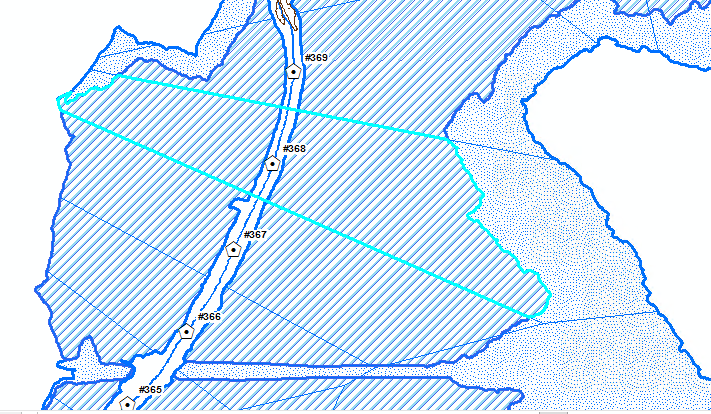
Thiessen polygons - Polygons generated from a set of sample points. Each Thiessen polygon defines an area of influence around its sample point, so that any location inside the polygon is closer to that point than any of the other sample points. Thiessen polygons are named for the American meteorologist Alfred H. Thiessen (1872-1931).
Constricted Valley - Valley defined by the anthropomorphic impedances such as roads, bridges, trails, levees, neighborhoods etc.
Impervious Surface - Any surface in the landscape that cannot effectively absorb or infiltrate rainfall (examples: roads, driveways, parking lots and rooftops).
Total Polygon Acreage - Total area of polygon in acres
Forest Acreage - Acreage of forest land cover/land use within polygon.
Crop Acreage - Acreage of crop land cover/land use within polygon.
Impervious Surface Acreage - Acreage of impervious surface land cover/land use within polygon.
Water Acreage - Acreage of water land cover/land use within polygon.
Sparsely Vegetated Acreage - Acreage of sparsely vegetated land cover/land use within polygon.
Grass Acreage - Acreage of grass land cover/land use within polygon.
% Forest - Percent of forest land cover/land use within polygon.
% Crop - Percent of crop land cover/land use within polygon.
% Impervious Surface - Percent of impervious service land cover/land use within polygon.
% Water - Percent of water land cover/land use within polygon.
% Sparsely Vegetated - Percent of sparsely vegetated land cover/land use within polygon.
% Grass - Percent of grass land cover/land use within polygon.
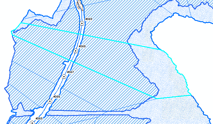
Thiessen polygons - Polygons generated from a set of sample points. Each Thiessen polygon defines an area of influence around its sample point, so that any location inside the polygon is closer to that point than any of the other sample points. Thiessen polygons are named for the American meteorologist Alfred H. Thiessen (1872-1931).
Morphological Valley - The boundary that broadly defines the bottomland between bluffs.
Impervious Surface - Any surface in the landscape that cannot effectively absorb or infiltrate rainfall (examples: roads, driveways, parking lots and rooftops).
Total Polygon Acreage - Total area of polygon in acres
Forest Acreage - Acreage of forest land cover/land use within polygon.
Crop Acreage - Acreage of crop land cover/land use within polygon.
Impervious Surface Acreage - Acreage of impervious surface land cover/land use within polygon.
Water Acreage - Acreage of water land cover/land use within polygon.
Sparsely Vegetated Acreage - Acreage of sparsely vegetated land cover/land use within polygon.
Grass Acreage - Acreage of grass land cover/land use within polygon.
% Forest - Percent of forest land cover/land use within polygon.
% Crop - Percent of crop land cover/land use within polygon.
% Impervious Surface - Percent of impervious service land cover/land use within polygon.
% Water - Percent of water land cover/land use within polygon.
% Sparsely Vegetated - Percent of sparsely vegetated land cover/land use within polygon.
% Grass - Percent of grass land cover/land use within polygon.
Sand Gravel Bar - An elevated region of sediment (such as sand or gravel) that has been deposited by the flow
Sand and gravel bars within Hinkson Creek channel were delineated based on 2011 6 inch 3-band true color leaf off aerial photography.
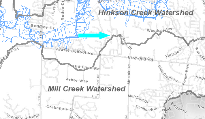
This is a dataset of watershed boundaries within the Hinkson Creek study area. This data delineates the major watershed areas for the given streams. These boundaries were drawn in conjunction with floodplain data generated in HecRAS. They are based on the 2002 Topographic data generated by Surdex.
Land Use Land Cover (LULC) from the City of Columbia's 2007 Natural Resources Inventory (NRI), a 6 class vector LULC based on 2007 6 inch 4-band leaf on aerial photography, covered approximately 75% of the study area within the metro area. The remaining 25% of the study area, mainly north of the city of Columbia, was not covered by high spatial resolution LULC. MoRAP developed a NRI-like LULC to fill in the gap.
The MoRAP NRI-like LULC is based on 2011 3-band leaf off imagery (provided by Boone County), 2010 4-band leaf on imagery, 2009 LiDAR DEM derivatives: slope and aspect, and a LiDAR digital surface model (DSM). All datasets used in classification were resampled to 1 meter spatial resolution. A supervised classification approach was employed to match the 6 NRI LULC classes (forest, grass, impervious, sparsely vegetated, crop, and water). A total of 3,000 training samples from the NRI dataset, 500 per class, were used to map LULC in raster format. Image objects were generated, using Ecognition software, based on the 2011 and 2010 imagery, to approximate the shapes and sizes of the NRI polygons. Each polygon was attributed with the majority LULC value based on the raster LULC dataset. The NRI and MoRAP NRI-like LULC datasets were merged together to create a seamless high spatial resolution vector LULC dataset that covers over 99% of the study area. There was approximately 100 acres not covered by LULC due to lack of data at the time of classification.
Land Use/Land Cover Type-LULC class types
Land Use/Land Cover composition summarized by watershed based on 'NRI_MoRAP_LULC_Merge'. Contains area and % area of each LULC class by watershed.
Subwatershed Area - Total area of watershed polygon in square miles.
% Forest - Percent of forest land cover/land use within watershed polygon.
% Crop - Percent of crop land cover/land use within watershed polygon.
% Impervious Surface - Percent of impervious service land cover/land use within watershed polygon.
% Water - Percent of water land cover/land use within watershed polygon.
% Sparsely Vegetated - Percent of sparsely vegetated land cover/land use within watershed polygon.
% Grass - Percent of grass land cover/land use within watershed polygon.
This dataset was created by dividing the study area watersheds at the confluence of the 8 major tributaries by fine resolution hydrologic drainage catchments. The result defines regions of drainage that contribute to each tributary watershed. LULC was summarized within the catchment polygons in order to perform a cumulative upstream LULC analysis.
Subwatershed Name - Name of watershed/tributary that catchment is related to.
Subwatershed Area - Total area of polygon in square miles.
Forest Acreage - Percent of forest land cover/land use within catchment polygon.
Crop Acreage - Acreage of crop land cover/land use within catchment polygon.
Impervious Surface Acreage - Acreage of impervious surface land cover/land use within catchment polygon.
Water Acreage - Acreage of water land cover/land use within catchment polygon.
Sparsely Vegetated Acreage - Acreage of sparsely vegetated land cover/land use within catchment polygon.
Grass Acreage - Acreage of grass land cover/land use within catchment polygon.
% Forest - Percent of water land cover/land use within watershed polygon.
% Crop - Percent of crop land cover/land use within catchment polygon.
% Impervious Surface - Percent of impervious service land cover/land use within catchment polygon.
% Water - Percent of water land cover/land use within catchment polygon.
% Sparsely Vegetated - Percent of sparsely vegetated land cover/land use within catchment polygon
% Grass - Percent of grass land cover/land use within catchment polygon.